
The pictures showed widespread damage across the historic community from the wildfires on Maui, Hawaii.
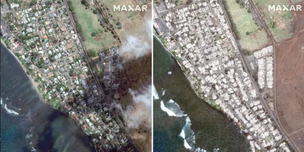
Satellite images captured the devastation on Maui on Wednesday after a wildfire tore through Lahaina, a popular vacation destination on the island’s west coast that was once the capital of the Kingdom of Hawaii.
In an image from Maxar Technologies, the historic area of Banyan Court — home to the island’s oldest living banyan tree, at 150 years old — appears to have mostly been reduced to ash.
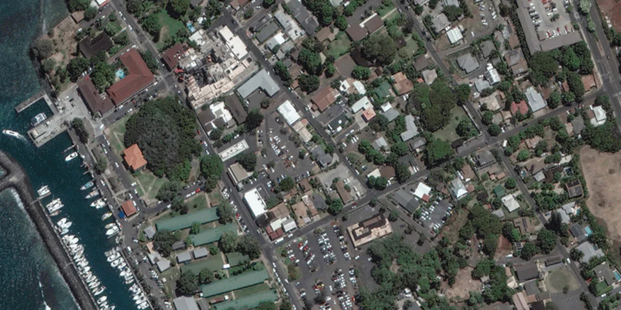
Other images showed similar devastation in and around Lahaina Square, a shopping area, and a neighborhood on the southern end of the town of roughly 12,700.
Wildfires that scorched the island have killed at least 36 people, officials said Thursday.
“Widespread damage to the West Maui town, the harbor and surrounding areas are being documented,” the county said in a statement.
A resident of Lahaina, Tiare Lawrence, told NBC affiliate KHNL of Honolulu that everyone she knows in the community has lost their homes.
“I still don’t know where my little brother is,” she said. “I don’t know where my stepdad is.”
The fires, which have also hit the Big Island of Hawaii, have been fueled by strong, erratic winds from a Category 4 hurricane.
“This is not going to be a short journey,” said Lt. Gov. Sylvia Luke, who is acting governor until Gov. Josh Green returns early from a trip. “It’s going to take weeks and maybe months to assess the full damage.“